
FERP Data and Resources {UNDER CONTRUCTION}
Tree census data
Data from 2007 initial census of original 6-ha plot.
These are the data used in Gilbert et al. 2010.
FERP07data (right-/control-click to download)
Alternatively, these 2007 data are curated on the CTFS ForestGEO server.
The complete data data from the 2012 recensus and the complete 2015 data for the expanded 16-ha FERP will be available soon.
Download assorted useful maps of the FERP here.
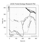 Trail map of the UCSC FERP Trail map of the UCSC FERP |
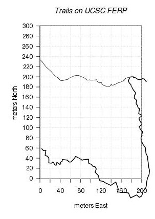 2007 trail map |
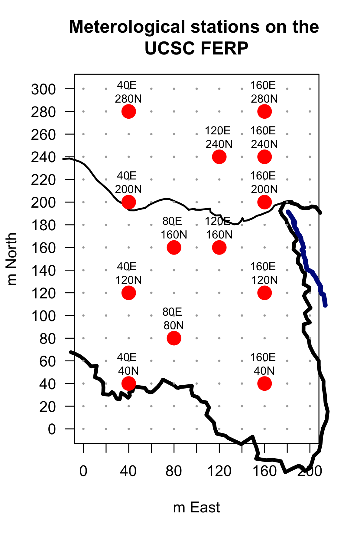 Met Stations |
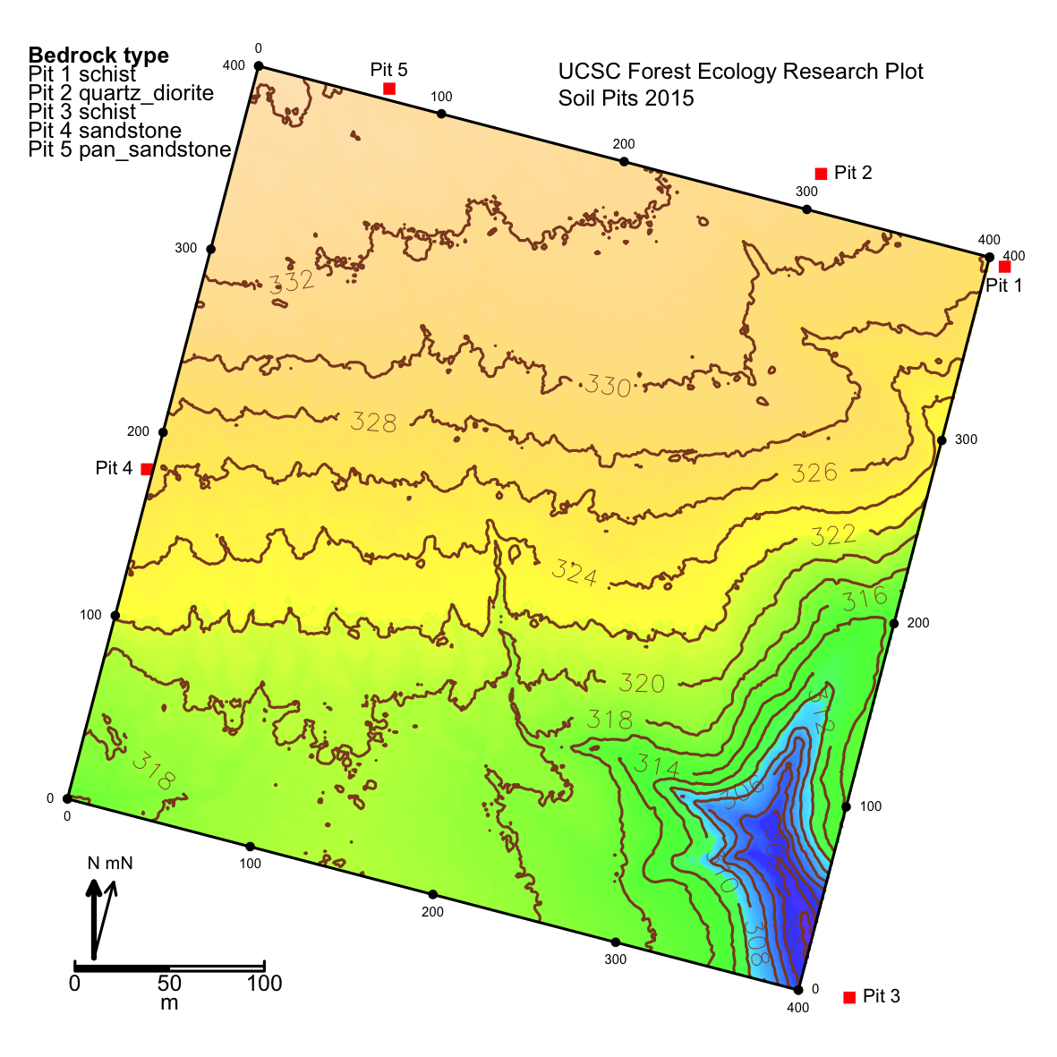 Contour map with soil pits |
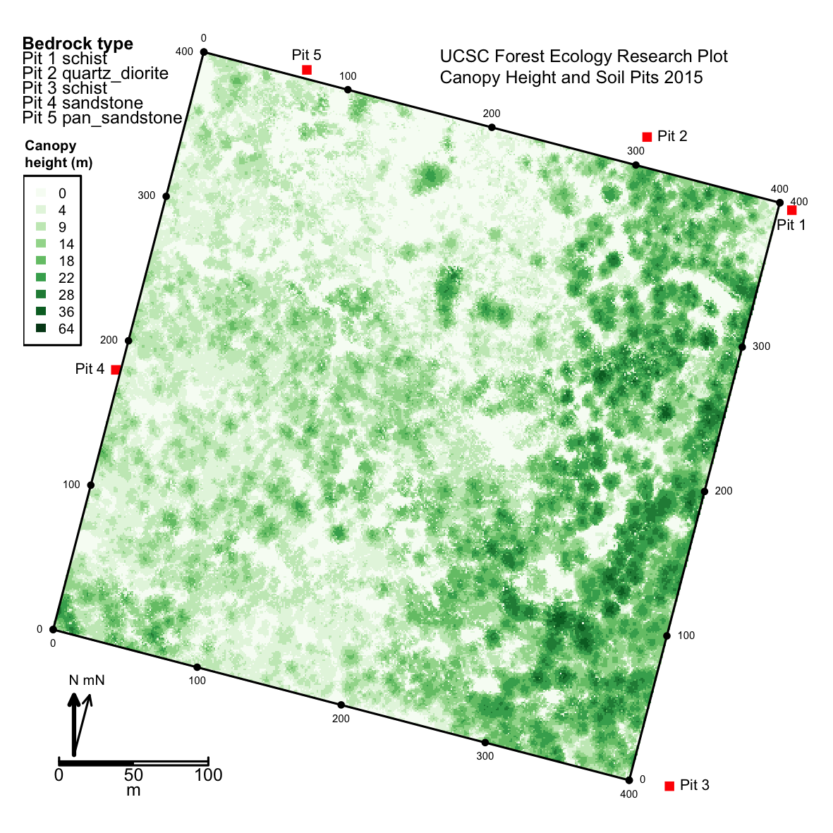 Canopy Heights with soil pits |
|
|
Trail map with litter traps |
Download FERP Data Sheets and Protocols here
| LitterTraps_Protocol | LitterTrapDataSheet v.6ha | |
| Herps on the FERP Monitoring Protocol |